Geography, an important subject which not only allows you to discover unknown spaces, but also to broaden your vision of the world.

As children, we discover our immediate environment and little by little, day by day, the space around us expands. We quickly realize that our universe is not limited to what our eyes can see on the horizon, but that new doors open to an even larger universe.
Beyond our house, apartment, our street, our town or village, fields, hills, mountains, rivers, forests, streams emerge for the greatest pleasure of our eyes.
The world is big and navigating this vastness is not possible for everyone. Fortunately, maps and photos are present in books and on the NET to allow you to admire the most beautiful places on our dear planet.
As soon as you go to school, geography allows us to escape to many countries and learn how all these places are composed. Learning often involves maps of the world, continents and France, on which the main things to know are indicated.
In order to practice remembering where the main cities, rivers, mountains, etc. are located. we have designed for you, blank cards ready to be printed in A4 format and in PDF. These drawings, like the world, there France and other countries or continents are blank so that you can fill them in yourself. You can place capitals, main rivers, mountains, but also climatic zones, etc.
You can download these cards at will and print them as much as you want. These cards are free and do not contain any instructions inside the outlines, which will allow you to use them for various exercises.
You will find theAustralia
L’Africa
THE Brazil
There China
THE Canada
There Russia
THE UNITED STATES
L’India
A terrestrial globe to be completed
And many other blank cards to print for free, often in A4 format and in PDF.
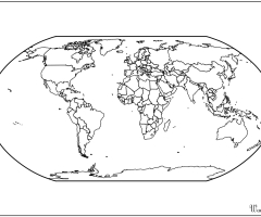 Blank Atlas world map to print
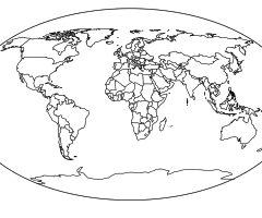 World map coloring page to print and color
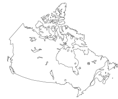 Map of Canada to complete
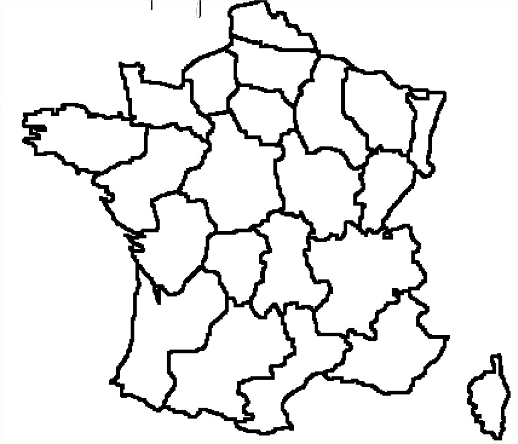 Map of France with regions to complete
 Map of India to print and complete
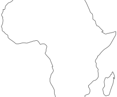 Map of Africa to print and complete
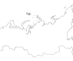 Map of Russia to print and complete
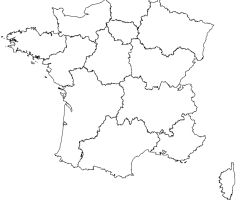 Regions of France 2016 map to complete
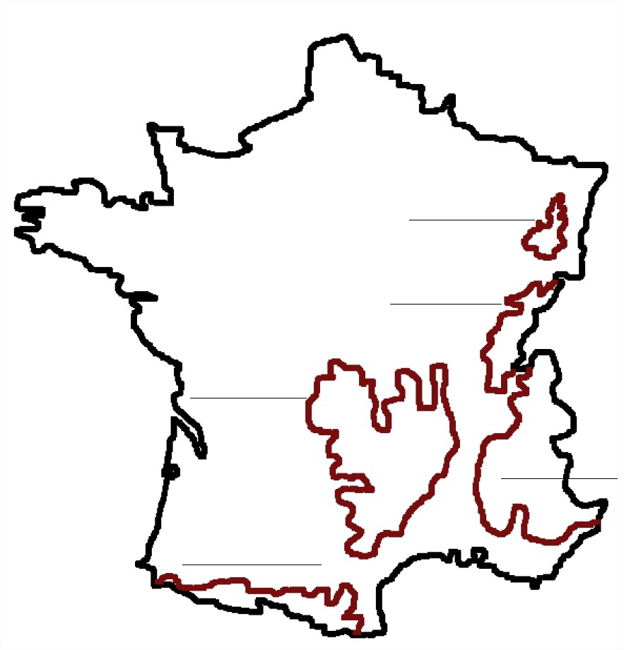 France and its reliefs to learn